The N7, on a Tuesday morning
Sébastien, 67 years old, has just bought an Aixam. He leaves home for the first time, types his destination into Waze, and follows the instructions to the letter. After a few minutes on small roads, the app announces: “Turn right.” He turns. He finds himself on a two-lane national road with morning traffic moving at 90 km/h. He is doing 45.
This scenario plays out every day in France. It is not a Waze bug: it is exactly what the app is designed to do. It optimises the route for a normal car. It simply ignores the fact that your vehicle exists.
How Waze calculates routes
Waze and Google Maps are built on a straightforward model: minimise journey time for a vehicle capable of reaching the legal speed on each road type. In built-up areas, the algorithm assumes you travel at 50 km/h. On departmental roads, 80 km/h. On national roads, 90 km/h.
That model is reasonable for 99% of vehicles on the road. For a L6e light quadricycle limited to 45 km/h, it is fundamentally unsuitable.
The legal category of your license-free car, the L6e light quadricycle, does not exist in Waze’s data model. There is no “license-free car” profile, no checkbox, no hidden setting. You are identified as a car, and the route is calculated as for a car.
The 3 major problems for license-free car drivers
1. Forbidden or dangerously unsuitable roads
The rule is clear: license-free cars (L6e light quadricycles) cannot use motorways or expressways. These restrictions are written into the Highway Code, but Waze does not enforce them for license-free cars.
The “avoid motorways” option that many license-free car drivers use is misleading. It excludes toll motorways marked with blue signs, but not:
- Urban expressways (N7, D6, and other dual-carriageway national roads)
- Periurban ring roads limited to 90 or 110 km/h
- Access slip roads too short to merge at 45 km/h
- Departmental roads where the imposed minimum speed exceeds your vehicle’s capability
On a road with a 90 km/h limit, a license-free car travelling at 45 km/h creates a 45 km/h speed differential with overtaking vehicles. At that level, the slightest unexpected event, a car braking hard, a vehicle overtaking without visibility, becomes a high-risk situation.
The fine for driving on a road forbidden to quadricycles can reach 1,500 euros, not counting vehicle immobilisation.
2. Completely unrealistic ETAs
This is the problem every license-free car driver knows by heart. Waze says 25 minutes, you take 50. The app says 1 hour, plan on 1 hour 45. That gap is not rounding: it disrupts days, causes missed appointments, and generates constant stress.
The reason is arithmetic. On a mixed route, Waze calculates an average speed of 55 to 60 km/h. In a license-free car, your real average speed is between 35 and 40 km/h, accounting for traffic lights, roundabouts, 30-zone areas, and urban slowdowns.
The gap is 40 to 50% on every single journey, without exception.
For someone who uses their license-free car to commute every morning, arriving consistently late because the GPS app underestimates journey time by half is a real problem, not a minor inconvenience.
3. No guidance adapted to slow drivers
Waze is designed for standard motorists. For a license-free car driver, the guidance is unsuitable on several points.
Turn announcements arrive too late when travelling at 45 km/h instead of 90: the timing is calibrated for higher speeds. The suggested routes do not account for specific constraints:
- Roads with an imposed minimum speed of 70 km/h
- Areas where other drivers are particularly aggressive towards slow vehicles
- Temporarily unsuitable routes (roadworks narrowing the carriageway, degraded surface)
- Known problem spots for local license-free car drivers
Waze has no license-free car profile. Voice guidance, route calculation, and time estimates are all calibrated for normal cars.
What the law says about roads open to license-free cars
As a reminder, the rules applicable to L6e light quadricycles (license-free cars) in France:
- Maximum speed: 45 km/h
- Permitted roads: all roads open to traffic, except motorways and expressways
- Forbidden roads: motorways (blue signs, access via slip roads), expressways (marked with specific signs), roads with an imposed minimum speed above 45 km/h
- Licence required: AM licence for drivers born after 1 January 1988
The practical problem is that the distinction between an 80 km/h national road open to license-free cars and a forbidden periurban expressway is not always obvious on the ground, let alone in a general-purpose GPS app. On a standard digital map, a D906 and a periurban expressway can look visually identical.
TacTac: navigation built for 45 km/h
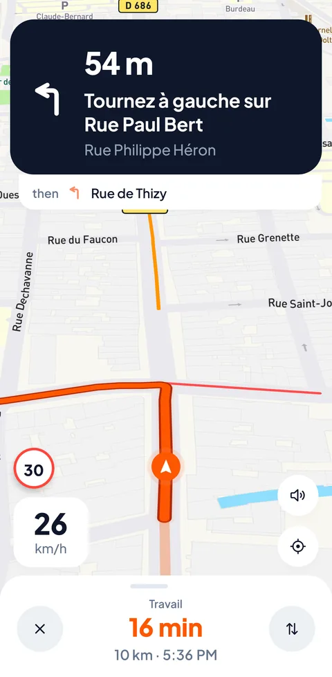
That is precisely why TacTac was designed. Not as a standard GPS with a “license-free car” option bolted on afterwards, but as a navigation system built from the ground up for light quadricycles.
Native license-free car routing. TacTac’s navigation engine uses a routing profile that natively excludes roads that are forbidden or dangerous for license-free cars. You start a route and it is calculated for your vehicle. No configuration, no settings to activate.
Reliable ETAs. TacTac calculates journey times based on a 45 km/h maximum. The arrival time shown is the time you actually arrive. If the app says 35 minutes, you arrive in 35 minutes.
Adapted voice guidance. TacTac’s voice guidance is calibrated for 45 km/h: announcements arrive at the right moment, instructions are clear and simple. Every turn is anticipated for your actual speed, not for a saloon car.
To find out more about forbidden roads and the traffic rules that apply to your vehicle, see our guide to roads forbidden to license-free cars. If you are comparing models before buying, our license-free car comparison tool will help you choose.
FAQ
Can you configure Waze for a license-free car?
No. Waze does not offer a vehicle profile for L6e light quadricycles. The “avoid motorways” option is insufficient: it does not filter expressways, does not account for the 45 km/h maximum speed, and does not exclude roads with an imposed minimum speed. ETAs remain calculated for a normal car.
Does Google Maps have a license-free car mode?
No. Like Waze, Google Maps does not recognise the light quadricycle category. The “car” profile assumes a speed that can reach the legal limits for each road type. There is no setting to cap route calculation at 45 km/h and automatically exclude roads forbidden to license-free cars.
Which GPS app should you choose for a license-free car?
TacTac is the only GPS app designed specifically for license-free cars. It integrates the license-free car profile natively: exclusion of forbidden roads, ETA calculation at 45 km/h, adapted voice guidance. Failing that, the least bad option with a standard GPS is to combine “avoid motorways” with prior knowledge of your routes.
Conclusion
Waze and Google Maps are not bad apps. They do exactly what they were designed to do: navigate in a normal car. The problem is that your license-free car is not a normal car, and these apps do not know that.
Driving a license-free car with a standard GPS means using a tool that ignores your vehicle. The roads it suggests may be forbidden or dangerous. The ETAs it announces are consistently wrong. The guidance is not adapted to your speed.
Join the TacTac waiting list and finally navigate with a GPS that understands your vehicle.